NEWS

The 22nd ISDE International Lectures concluded on 16 September 2026 under the theme “AI-Enabled Geospatial Fusion for Sustainable Mapping and Urban Mobility.” The session marked a collaborative effort between the Mongolian Geospatial Association and the International Society for Digital Earth (ISDE).
Through in-depth methodological analyses and compelling case studies spanning 3D mapping, mineral exploration, and urban traffic congestion, the speakers shared recent technological advances and practical insights into smarter resource utilization and more liveable cities. Their presentations also sparked an engaging discussion during the Q&A session.
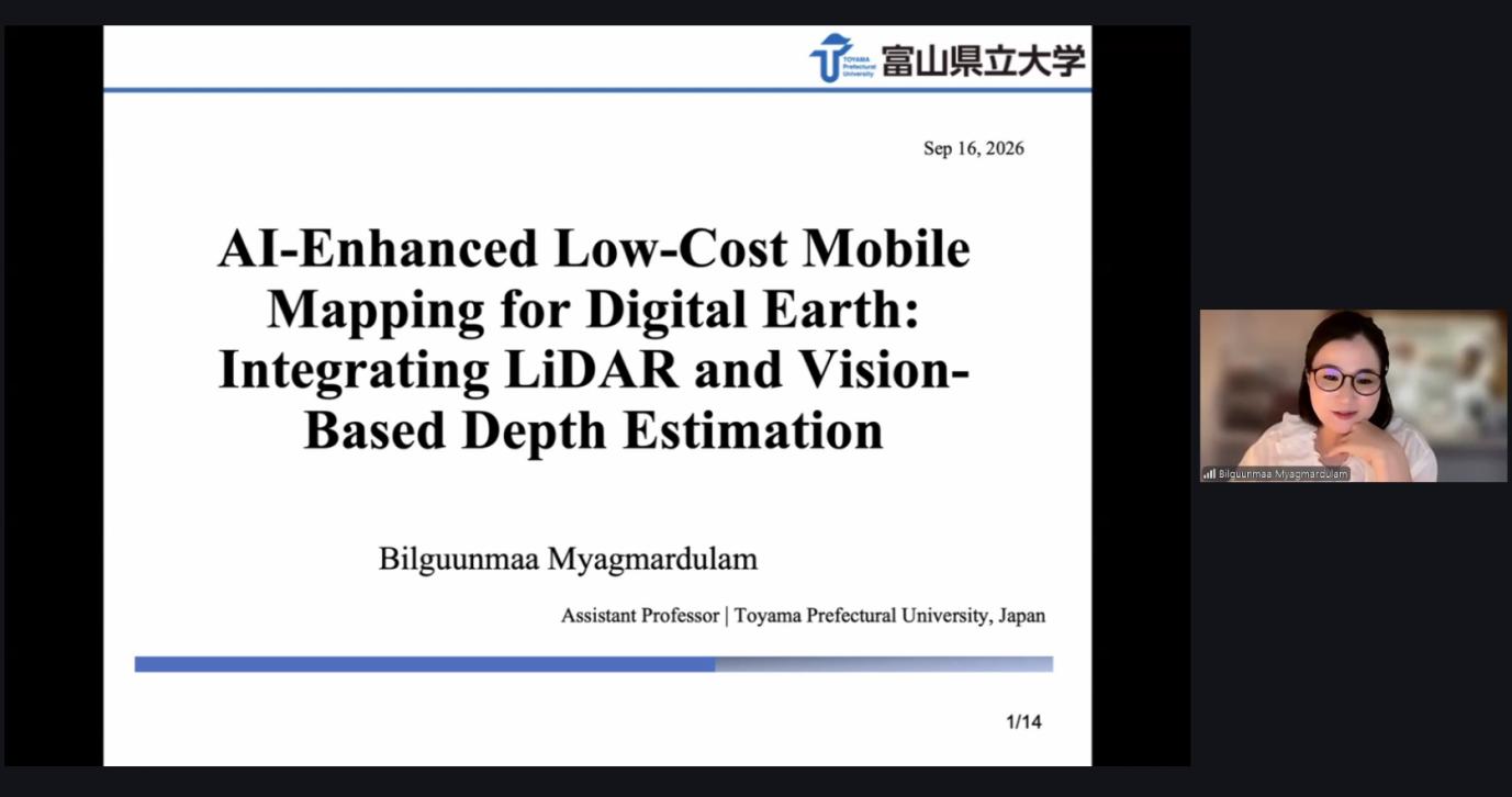
Bilguunmaa Myagmardulam, Assistant Professor at Toyama Prefectural University, Japan, opened the session with a presentation titled “AI-Enhanced Low-Cost Mobile Mapping for Digital Earth: Integrating LiDAR and Vision-Based Depth Estimation”. Her approach integrates LiDAR-based mobile mapping systems with AI-driven monocular depth estimation, combining the geometric accuracy of LiDAR with the scalability of image-based 3D reconstruction. She highlighted how low-cost mobile mapping systems can make 3D data acquisition more accessible, while the Visual Geometry Grounded Transformer (VGGT) can reconstruct meaningful road geometry from ordinary RGB images. She also demonstrated how LiDAR and AI-based vision can provide complementary sensing capabilities for scalable Digital Earth applications.
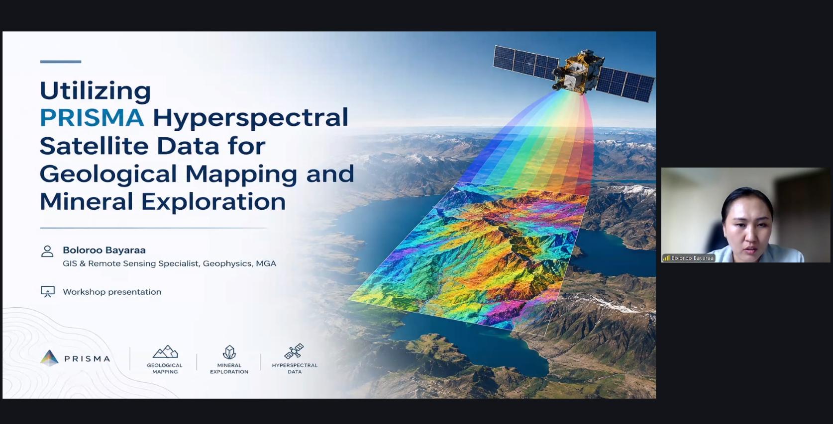
Boloroo Bayaraa, GIS and remote sensing specialist and Board Member of the Mongolian Geospatial Association, presented “Utilizing PRISMA Hyperspectral Satellite Data for Geological Mapping and Mineral Exploration”, drawing on two case studies in Mongolia. In an intrusive-rock-dominated area of Orkhon Province, spectral matching and band-ratio analysis delineated propylitic, phyllic, and argillic alteration zones whose clustered spatial patterns point to likely structural and lithological controls, flagging priority areas for further exploration. In a second case study in Ömnögovi Province, a training-based classification approach identified copper- and arsenic/iron-bearing indicator minerals with high accuracy, producing mineral maps consistent with known geochemical anomalies. She recommended combining hyperspectral data with radiometric survey and field/geochemical verification to further improve the reliability of lithological mapping.
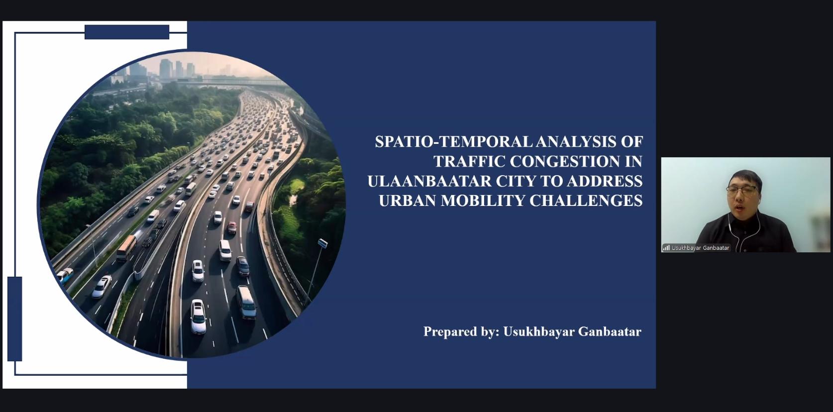
Usukhbayar Ganbaatar, a geospatial specialist and Board Member of the Mongolian Geospatial Association, presented “Spatio-temporal Analysis of Traffic Congestion in Ulaanbaatar City to Address Urban Mobility Challenges.” Focusing on congestion as a major urban challenge and contributor to local air pollution, he used Google Maps Traffic layer data collected hourly across the city’s core road network over seven consecutive days to build a spatio-temporal congestion database and conduct hotspot and regression analyses. The results revealed clear congestion patterns, with peak congestion occurring on weekday afternoons, particularly between 12:00 p.m. and 7:00 p.m., and hotspots concentrated around major intersections near the city centre. Road network density, proximity to the city centre, and building density emerged as the strongest drivers of congestion, while areas with greater infrastructure investment and traffic management tended to see less of it. Based on these findings, he proposed smart traffic and land-use management, more decentralized urban development, and improvements to public transportation, while highlighting the potential of combining Google Maps Traffic data with other data sources to support evidence-based smart mobility planning.
The event was moderated by Enkhjargal Natsagdorj, Lead of Technical Committee on GIS of the Mongolian Geospatial Association, and Head of the Spatial Data Analysis Department at the Center for Policy Research and Analysis of the Ulaanbaatar City Municipality, Mongolia. More than 4,400 scholars and professionals from around the world attended the lectures through Zoom and other academic livestreaming platforms.
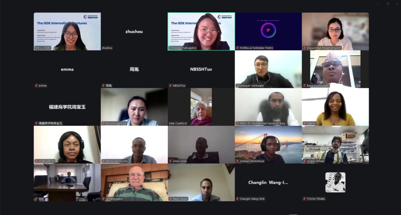
The ISDE International Lectures are organized by the International Society for Digital Earth (ISDE) and supported by the International Research Center of Big Data for Sustainable Development Goals (CBAS). It is a series of online events which feature invited lectures by well-known international experts in the field of Digital Earth. The purpose of the events is to bring international scholars in the relevant research fields of Digital Earth together to exchange academic perspectives, share research results, and disseminate the most cutting-edge concept of Digital Earth.