NEWS

The International Workshop on Digital Earth and Sustainable Development opened on 14 October 2026 at the Headquarters of the International Science and Technology Organizations in Beijing. The Workshop brought together up to 70 researchers and scholars from 14 countries and regions, including Italy, Germany, Sweden, the Netherlands, Estonia, and Tanzania. It focused on interdisciplinary themes at the intersection of GeoAI, big data, and Earth Observation, opening up new ways of understanding ecological challenges and rethinking pathways to sustainable development.
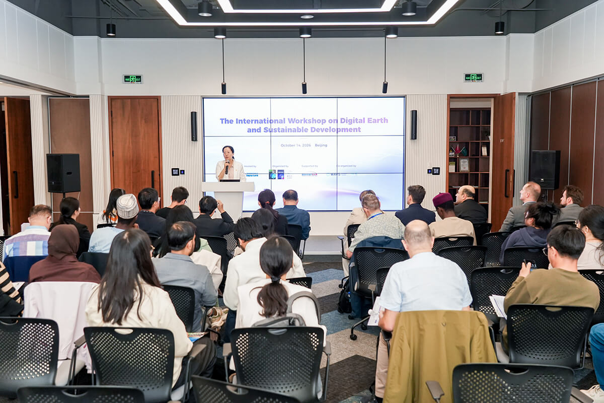
Workshop opening
With the support of the Beijing International Science and Technology Exchange Center (BISTEC), the Workshop was hosted by the International Society for Digital Earth (ISDE). It was jointly organized by Big Earth Data, International Journal of Digital Earth, and Beijing Chaoyang International Science and Technology Innovation Service Co., Ltd., and co-organized by An Eco-Secured Community with a Shared Future for Mankind, and the World Association of Young Scientists.
Prof. Changlin Wang, Vice President of ISDE, welcomed the invited speakers and participants in his opening remarks, highlighting ISDE’s role in fostering international academic exchange and research collaboration as the Digital Earth vision continues to advance alongside rapid developments in big data, AI, and other geospatial technologies. He noted that these technologies can “make the SDGs more quantifiable, monitorable, and accessible, and promote cross-national data sharing and collaborative governance”. He also underscored the importance of more of such interdisciplinary dialogue in driving scientific discovery. Dr. Zhen Liu, Secretary General of ISDE, moderated the event.
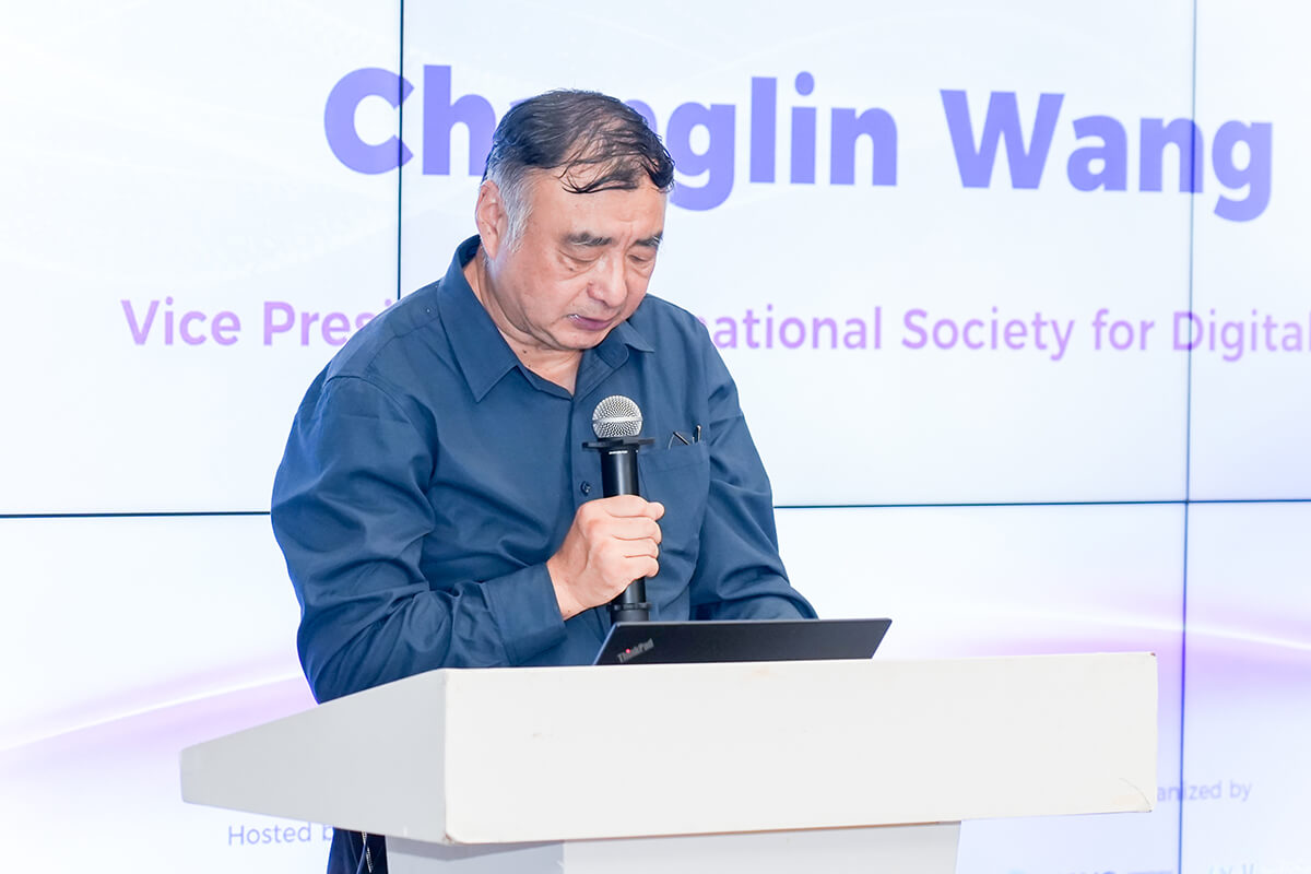
Changlin Wang addressed the opening
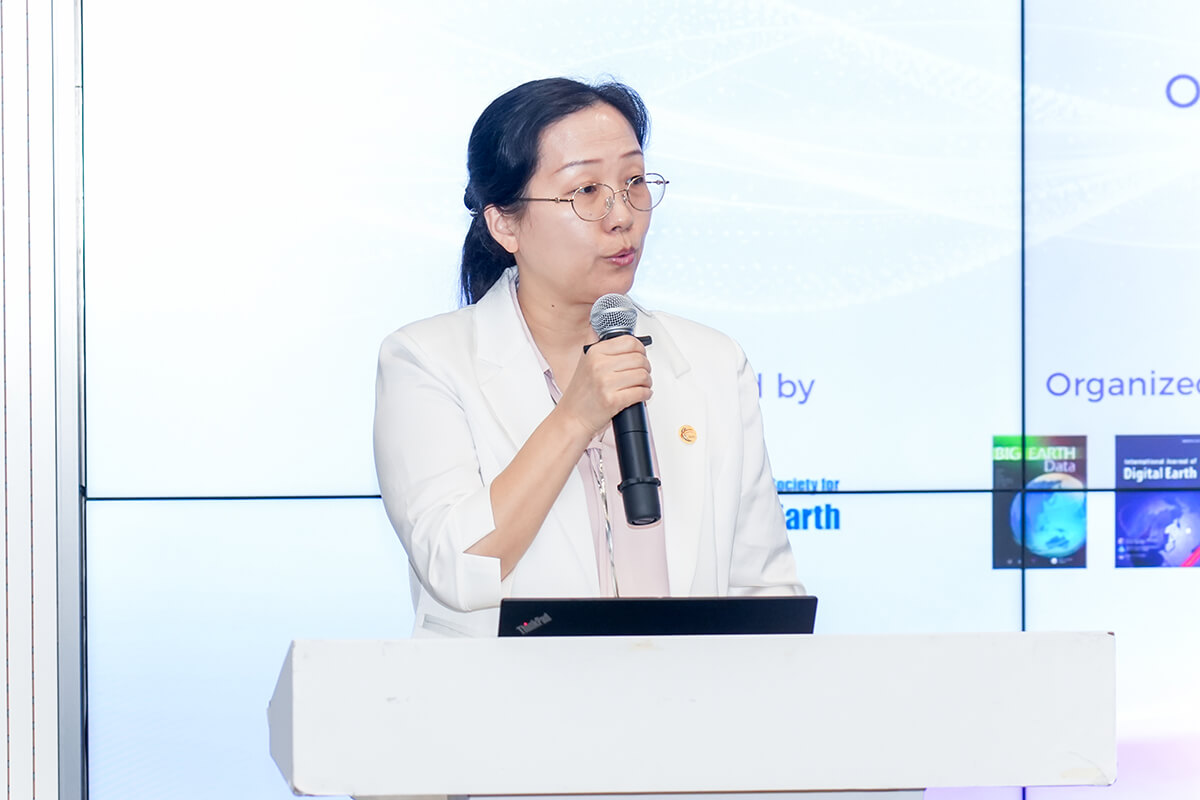
Zhen Liu moderated the worksho
Six invited presentations examined advances in Digital Earth research in relation to spatial observation, as well as agricultural and environmental applications. Prof. Ali Mansourian, Director of the GIS Centre at the Lund University, Sweden, presented “Geo-LLMs and Spatial Intelligence: A Visionary Perspective”. He outlined the evolving capabilities of general-purpose LLMs, GeoLLMs, and Autonomous GIS, and demonstrated step by step how GeoLLMs can be orchestrated and fine-tuned for geospatial tasks. In his vision for the future, he advocated for an open spacial intelligence ecosystem, built on open infrastructure, standards, services, models, and collaboration.
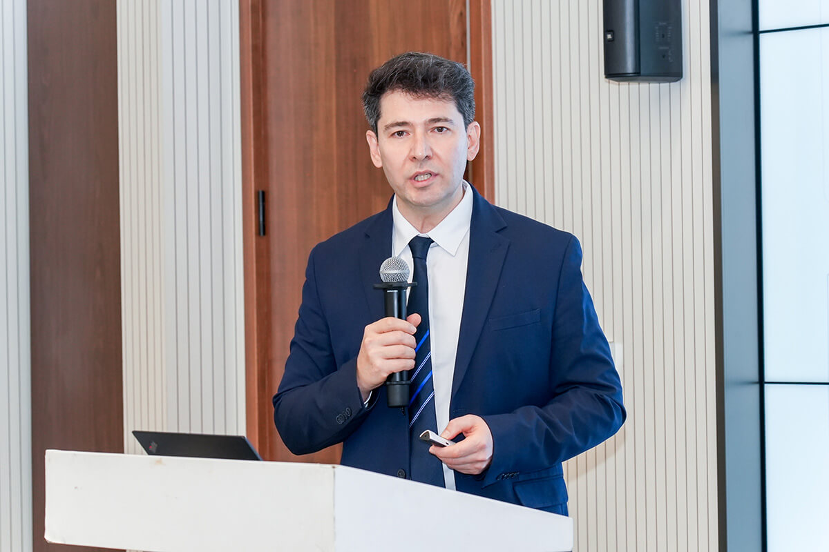
Keynote presentation by Ali Mansouria
Prof. Wei Su from the China Agricultural University delved into the topic of “Agricultural Monitoring by Multi-source Remote Sensing Techniques”, covering advances in agricultural monitoring through satellite imagery, AI, and crop growth models. Drawing on a range of case studies, she covered soil properties, cropland mapping, crop growth assessment, disaster detection, and yield forecasting. She also discussed leveraging low-temperature models and crop growth modelling to support research on agricultural adaptation to extreme weather.
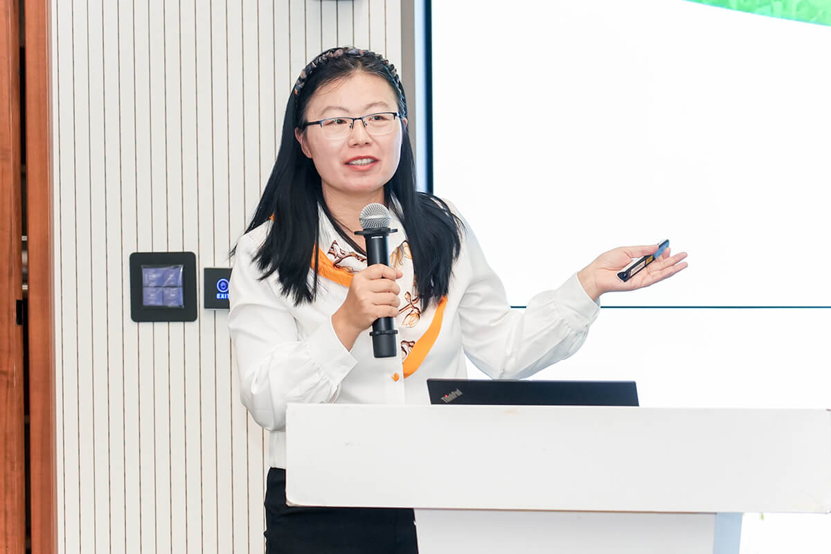
Keynote presentation by Wei Su
Dr. Alexander Kmoch, Associate Professor in Geoinformatics at the University of Tartu, Estonia, delivered a presentation on “Improving Spatial Prediction for Confident Mapping”. Highlighting the discrepancies between mapped predictions and actual soil measurements, he introduced the concept of “confident mapping”, exploring how machine learning workflows can improve the reliability of spatial predictions. He emphasized locally calibrated prediction intervals, masking predictions beyond the Area of Applicability (AOA), and targeted field sampling to reduce extrapolation.
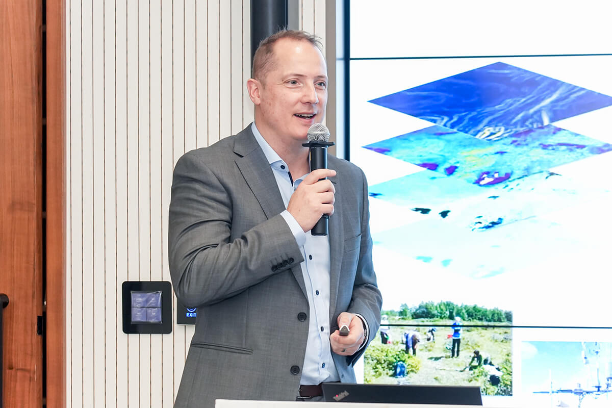
Keynote presentation by Alexander Kmoch
The second session broadened the discussion to environmental risk prediction, and urban climate resilience. Dr. Jing Wei, Assistant Professor at Peking University, China, presented “AI for Advancing Atmospheric Composition Monitoring and Forecasting from Space”. Addressing the limitations of sparse spatial coverage in ground-based air quality monitoring networks, he focused on how big data and advanced AI techniques can enhance satellite-based atmospheric composition monitoring and help assess the environmental and public health impacts of air pollution. He also showcased his team’s refined big-data-driven AI models, including Space-Time Extra-Trees and Space-Time LightGBM, which improve the accuracy of air pollutant estimation and support more fine-grained analyses of air pollution patterns in different countries.
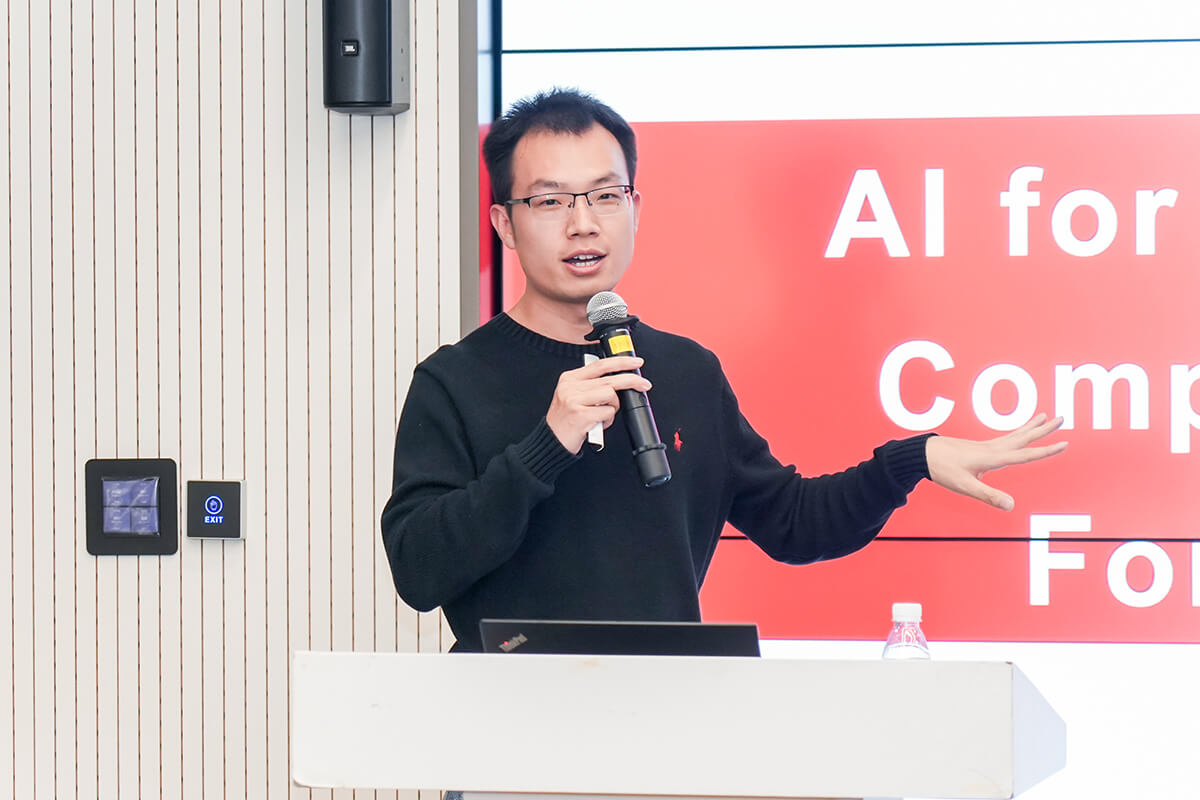
Keynote presentation by Jing Wei
Dr. Martin Sudmanns, Assistant Professor at the Paris Lodron University of Salzburg, Austria, delivered a presentation on “Dynamic Erosion Risk Prediction Using In-Situ-, Semantic EO, and Weather Forecast Data”. Highlighting the need for timely soil erosion monitoring in the face of intense precipitation events, he introduced the DRAIN project, which integrates Earth Observation, meteorological, and in-situ data to predict soil erosion. He demonstrated how semantic EO data cubes are used to identify distinct patterns associated with different soil conditions and enable scalable data analytics, providing a foundation for real-time erosion models. He also noted that further model validation and greater user engagement are needed to support the practical application of these models.
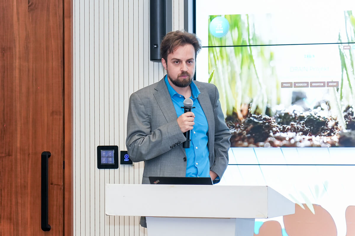
Keynote presentation by Martin Sudmanns
Prof. Riccardo Buccolieri, Full Professor of Atmospheric Physics at the University of Salento, Italy, delivered “Bridging Urban Microclimate Modelling and Observations: Towards Climate-ready Urban Digital Twins”. He outlined how modelling and observations can be integrated through an Observe-Represent-Evaluate-Understand-Explore workflow to capture urban climate processes across scales. Using an ENVI-met case study in Lecce, Italy, he evaluated urban greening scenarios and showed that the most effective intervention is not necessarily the one with the most vegetation, but the one that provides shade where and when people are most exposed, while noting nighttime trade-offs. He concluded that climate-ready urban Digital Twins should be dynamically updated and understandable to decision makers.
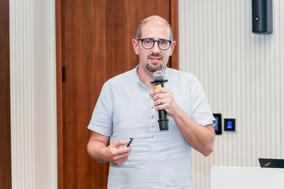
Keynote presentation by Riccardo Buccolieri
The Q&A sessions following each presentation extended the discussion to related research questions. The invited speakers and participants exchanged views on the transferability of research methods and case studies, and explored shared approaches to challenges in data processing and spatial scale alignment in environmental monitoring, risk assessment, and climate adaptation. These exchanges also opened up possibilities for future interdisciplinary collaboration.
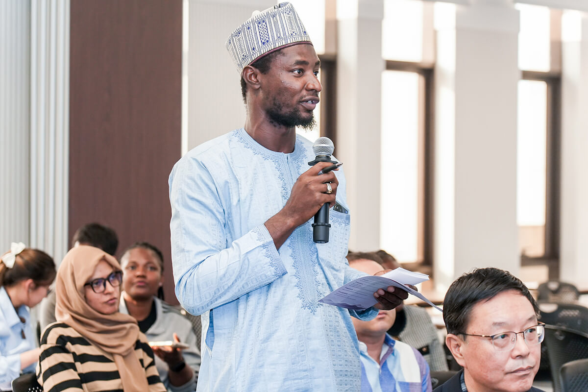
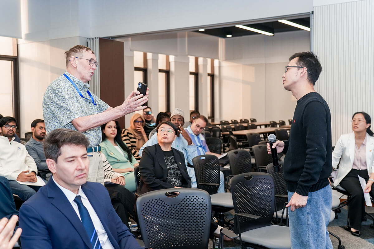
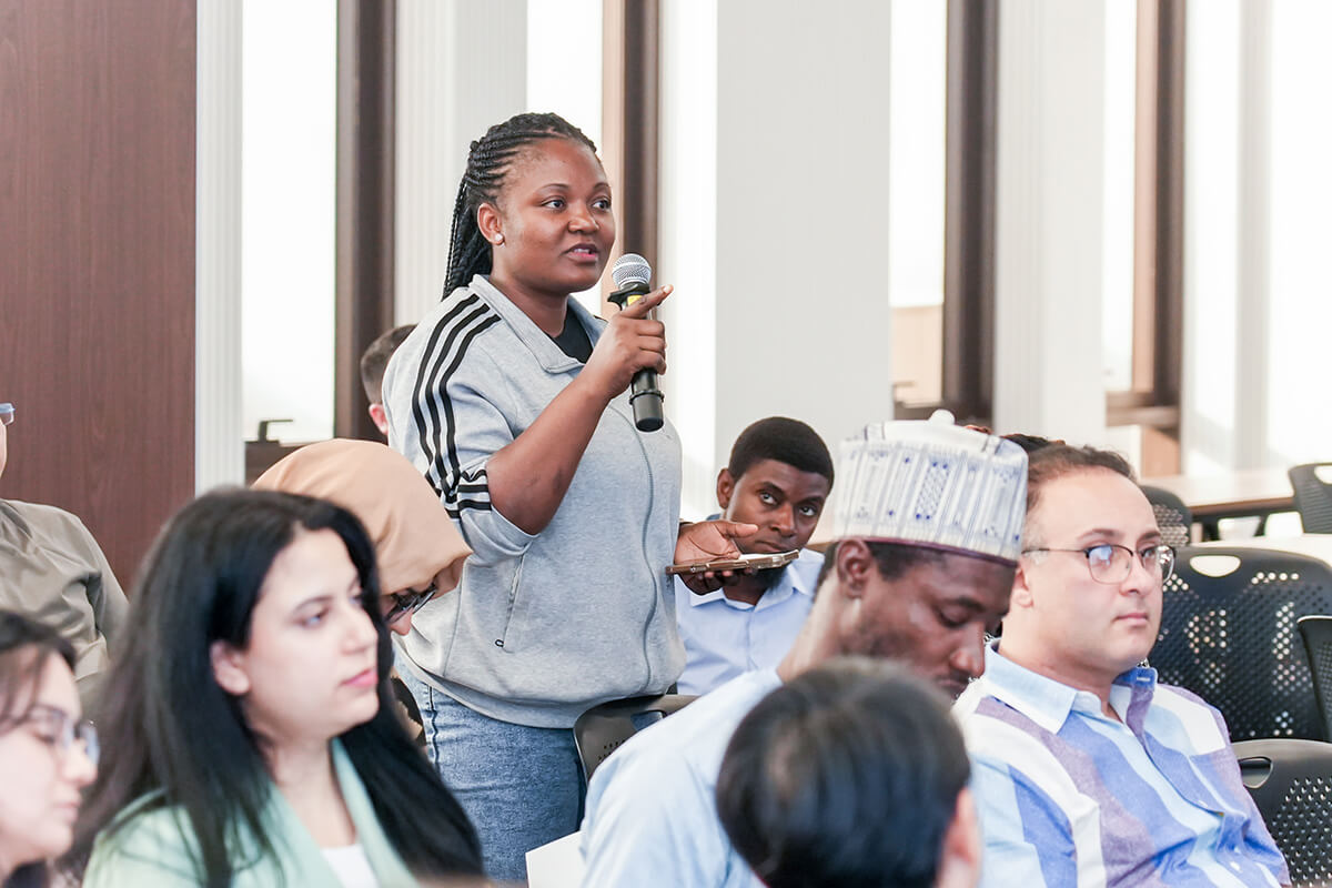
Q&A sessions
The two-day Workshop also included the invitation-only Discussion on Multilateral Academic Exchange and Collaboration on the morning of 14 October. Invited delegates discussed ongoing and planned projects, explored opportunities for concrete research collaborations between China, Europe, and other regions, and identified priority areas for renewing and expanding ISDE’s Working Groups in GeoAI, Digital Twins, and other subfields.
A technical visit to Sugon, also known as Dawning Information Industry Co., Ltd., was held on 15 October. The visit provided an opportunity for participants to learn more about China's supercomputing capabilities and explore opportunities to connect international research needs with Beijing’s technological and industrial strengths.
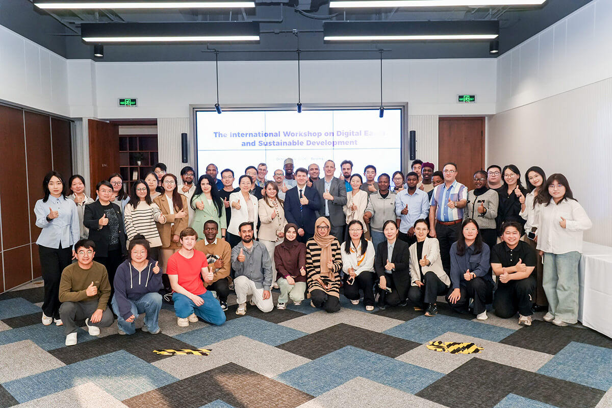
Group photo
The inaugural workshop provided a forum for sharing research across disciplines. It also reflected ISDE’s continuing commitment to nurturing young talent through platforms such as the ISDE - Young Scientist Innovation Network (ISDE-YSIN), launched in May 2023. Further exchanges will follow at the 4th Youth Innovation Forum on Digital Earth, to be held on 16–19 October 2026 in Xuzhou, China.