NEWS

The 4th Youth Innovation Forum on Digital Earth was held in Xuzhou, China, from 16 to 19 October 2026. Under the theme “Digital Earth Empowering Sustainable Development and Utilization of Resources”, the forum attracted over 200 participants from 26 countries and regions, including leading experts and scholars in the field of Digital Earth, representatives of international organizations, and industry delegates. Focusing on the deep integration of cutting-edge Digital Earth technologies with dynamic monitoring of energy and resources, big data analytics for energy applications, and green and low-carbon development, the forum provided an international platform for interdisciplinary, cross-industry, and cross-sector exchanges among young scientists worldwide, jointly advancing the use of Digital Earth technologies to support the implementation of the United Nations 2030 Agenda for Sustainable Development.
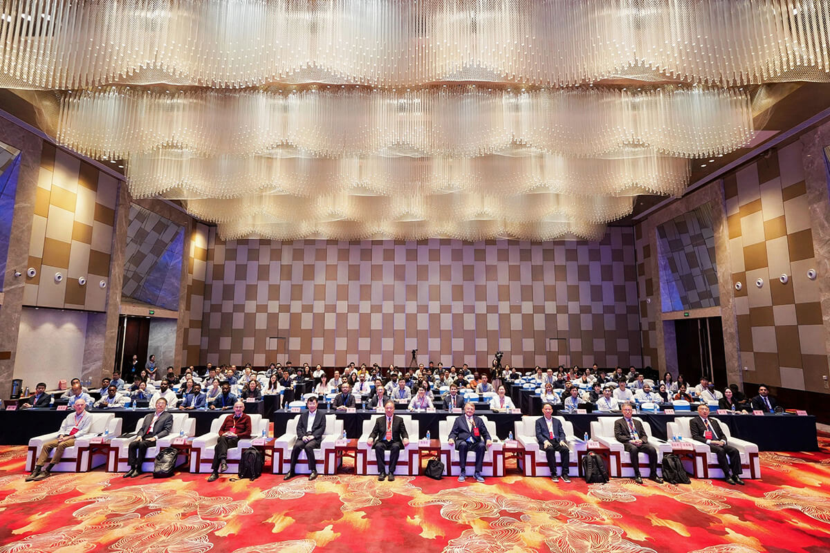
Opening ceremony
The forum was jointly hosted by the International Society for Digital Earth (ISDE), China University of Mining and Technology (CUMT), and the International Research Center of Big Data for Sustainable Development Goals (CBAS), and organized by the ISDE-Young Scientist Innovation Network (ISDE-YSIN), the School of Resources and Geosciences at CUMT, and the School of Energy at CUMT. Supporting co-organizers included the World Association of Young Scientists, the School of Geography at Nanjing Normal University, and the College of Land Science and Technology at China Agricultural University.
Prof. Changlin Wang, Vice President of ISDE and Chair of the 4th Youth Innovation Forum on Digital Earth, delivered welcoming remarks. Prof. Feng Tian, Vice Chancellor of China University of Mining and Technology, Prof. Milan Konečný, former President of the International Cartographic Association, Prof. Songnian Li, Chair of the Academic Network of the United Nations Committee of Experts on Global Geospatial Information Management (UN-GGIM), delivered opening remarks.
In his remarks, Prof. Changlin Wang highlighted how Digital Earth has evolved into a new research paradigm that brings together big Earth data, integrated space-air-ground observation, and artificial intelligence. Against the backdrop of growing resource pressures and climate change, he emphasized the potential of Digital Earth technologies to improve resource monitoring, assessment, and management, paving the way for more sustainable resource use. He also reaffirmed ISDE’s commitment to supporting young scientists, fostering international collaboration, and promoting cross-border research and data sharing to advance the UN 2030 Agenda for Sustainable Development.
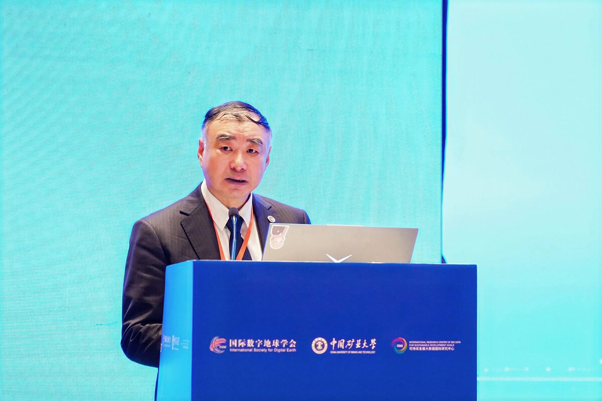
Welcoming remarks by Prof. Changlin Wang
On behalf of CUMT, Prof. Feng Tian warmly welcomed the delegates, and outlined the university’s disciplinary strengths in energy and resources and its achievements under the “Double First-Class” Initiative. He emphasized that geospatial big data, Earth Observation, AI and Digital Twins converge rapidly. “Digital Earth continues to strengthen our ability to understand the Earth, detect changes, simulate its evolution, and support decision-making,” he said, offering scientific methods and technological pathways for China’s dual-carbon goals and the green, low-carbon transition. Under the theme “Digital Earth Empowering Sustainable Development and Utilization of Resources,” he urged young researchers to deepen cross-disciplinary cooperation and advance Digital Earth applications.
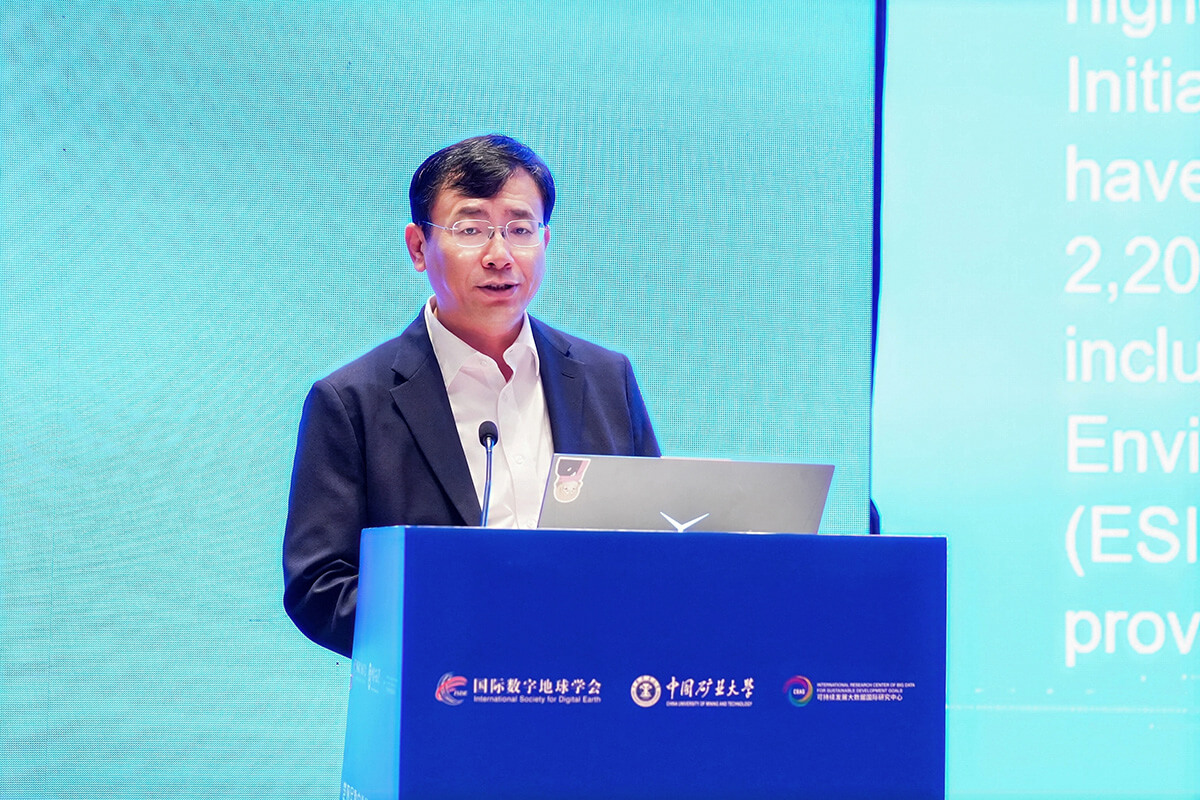
Opening remarks by Prof. Feng Tian
At the opening ceremony, the Young Scientist Awards of the ISDE-Young Scientist Innovation Network were presented to recognize outstanding young scientists actively pursuing innovation in Digital Earth field. The award recipients were Dr. Zhenlong Li, Associate Professor at Pennsylvania State University, USA; Prof. Junzhi Liu of Lanzhou University, China; and Dr. Amin Naboureh, Research Associate Professor at the Institute of Mountain Hazards and Environment, Chinese Academy of Sciences.
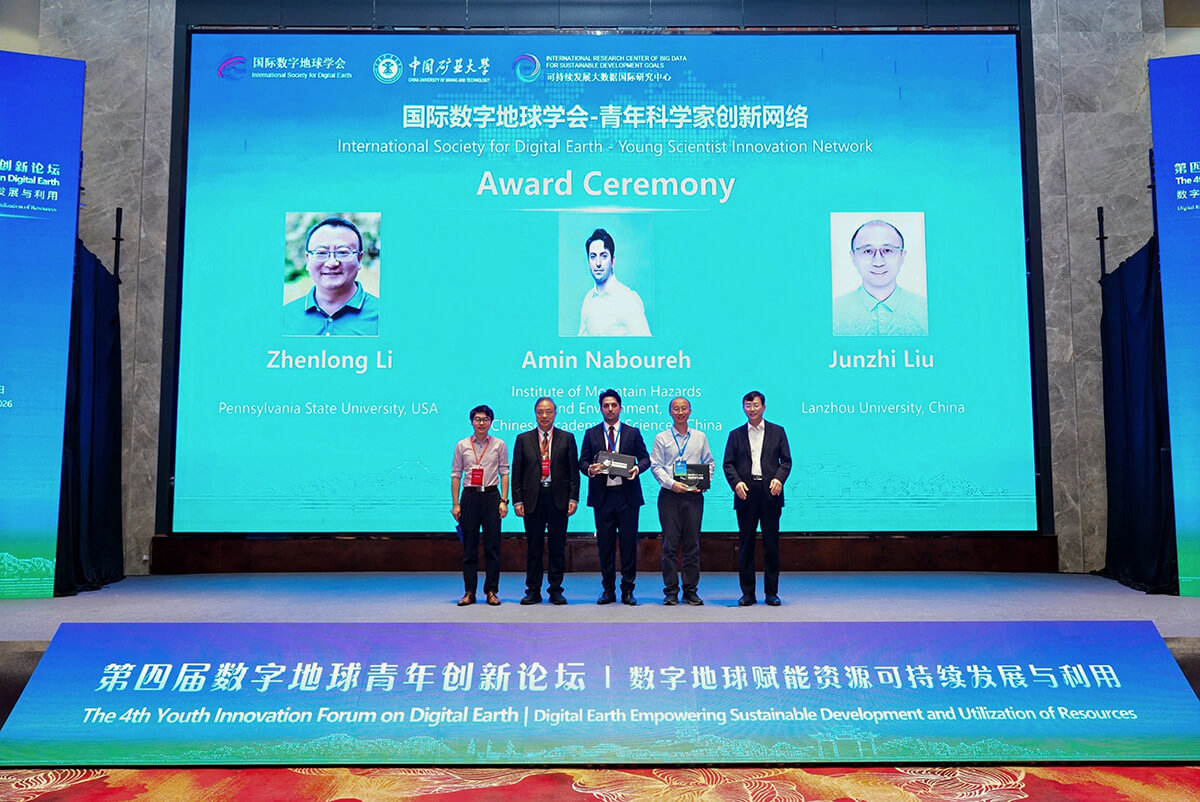
ISDE-YSIN Young Scientist Award ceremony
Prof. Huadong Guo, Academician of the Chinese Academy of Sciences, Honorary President of ISDE, and Director General of the International Research Center of Big Data for Sustainable Development Goals (CBAS), delivered an invited keynote presentation entitled “Leveraging Big Earth Data to Advance the Sustainable Development Goals”. He traced the development of big Earth data and its growing recognition by the United Nations and the global SDG community, highlighting international journal of Big Earth Data, the first Big Data journal in the field of Earth sciences. He noted that the exponential growth of big Earth data is driving a new paradigm in Earth science, fueled by initiatives such as the Big Earth Data Science Engineering Program (CASEarth) and the extensive research led by CBAS. Through open data products, technical capabilities, and the monitoring of key SDG indicators, these efforts continue to support progress toward the SDGs.
To help address the remaining SDG targets and deliver public goods accessible worldwide, he called on the international community to join the Digital Sustainable Development Goals Programme (DSP), alongside 58 institutions from 35 countries, and contribute to a global observation network and jointly develop models and digital indicators to deliver digital solutions for 2030 and beyond.
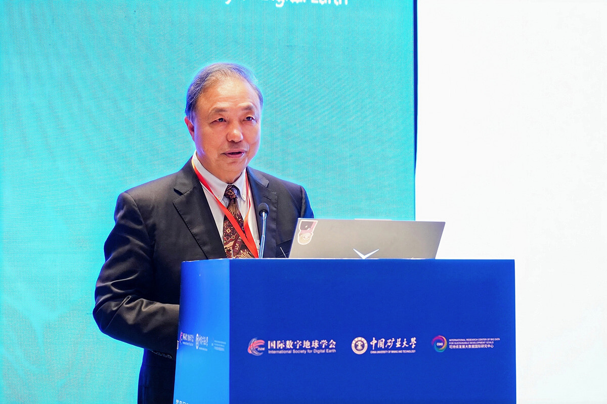
Invited keynote presentation by Prof. Huadong Guo
Prof. Milan Konečný, delivered a keynote on “New Digital Earth Architecture for Disaster Risk Reduction Solutions”. He reviewed the evolution of Digital Earth and explained how the New Digital Earth Architecture’s components and operating mechanisms can provide the standards, tools, and governance needed to build an integrated global system. He emphasized that Digital Earth, as a dynamic complex adaptive system and a cyber-physical continuum, is essential to understanding compound risks and coordinating real-time responses. He also introduced Progressive Cartography, highlighting the need for emergency maps to adapt to different devices and changing situations. In his introduction of the China-Czechia Science and Technology Cooperation Project on dynamic mapping and big data, he demonstrated VR-based geographic education examples, and a 2026-2030 roadmap featuring cross-border and multi-hazard demonstrators and uncertainty-to-action visualization, with the hope of advancing the vision of Digital Earth as a “planetary brain” for global disaster risk reduction.
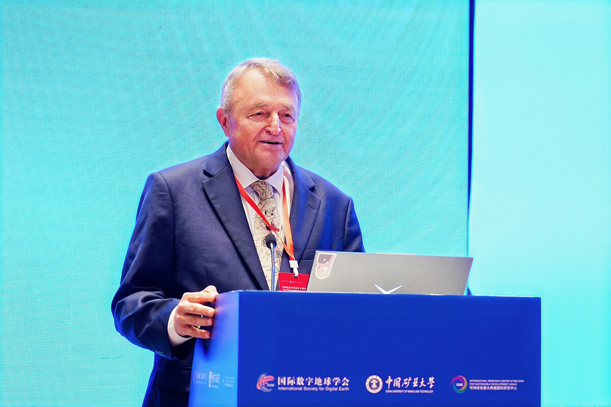
Keynote presentation by Prof. Milan Konečný
Prof. Songnian Li of Toronto Metropolitan University, Canada delivered a keynote themed “Empowering the Future of Digital Earth through UN-IGIF”. He outlined a paradigm shift in Digital Earth, “representing our planet to understanding change and enabling action”, with the field evolving toward spatial intelligence and a shared intelligent ecosystem built on dynamic connectivity, cross-scale integration, and shared intelligence. He emphasized that the United Nations Integrated Geospatial Information Framework (UN-IGIF) can serve as a key link between governance, technology, and people, helping build a trusted, integrated, and sustainable geospatial ecosystem. As Digital Earth becomes increasingly AI-driven, he called for stronger collaboration across sectors, disciplines, and national borders to bridge the geospatial digital divide and translate global geospatial visions into national and local action. He encouraged young scholars to work together toward a more intelligent, inclusive and sustainable Digital Earth.
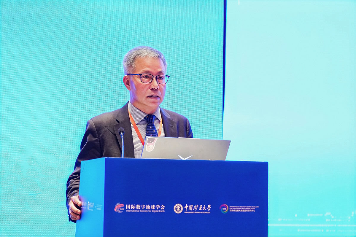
Keynote presentation by Prof. Songnian Li
Eight other distinguished experts delivered keynote presentations spanning a wide range of Digital Earth topics, including geospatial big data, spatial analytics, AI, and energy mapping, underscoring the growing convergence of geospatial technologies, computational modelling, and spatial intelligence. They included Prof. Dawen Yang of Tsinghua University; Prof. Paul Longley of University College London, UK; Prof. Xin Li, Deputy Director of the Institute of Tibetan Plateau Research (ITP), Chinese Academy of Sciences (CAS); Prof. Tony Jakeman of the Australian National University, Australia; Prof. Michael Batty of University College London, UK, who joined online; Prof. Tao Pei of Henan Polytechnic University, China; Prof. Ali Mansourian, Director of the GIS Centre at Lund University, Sweden; and Prof. Jian Shen, Dean of the School of Resources and Geosciences at CUMT.
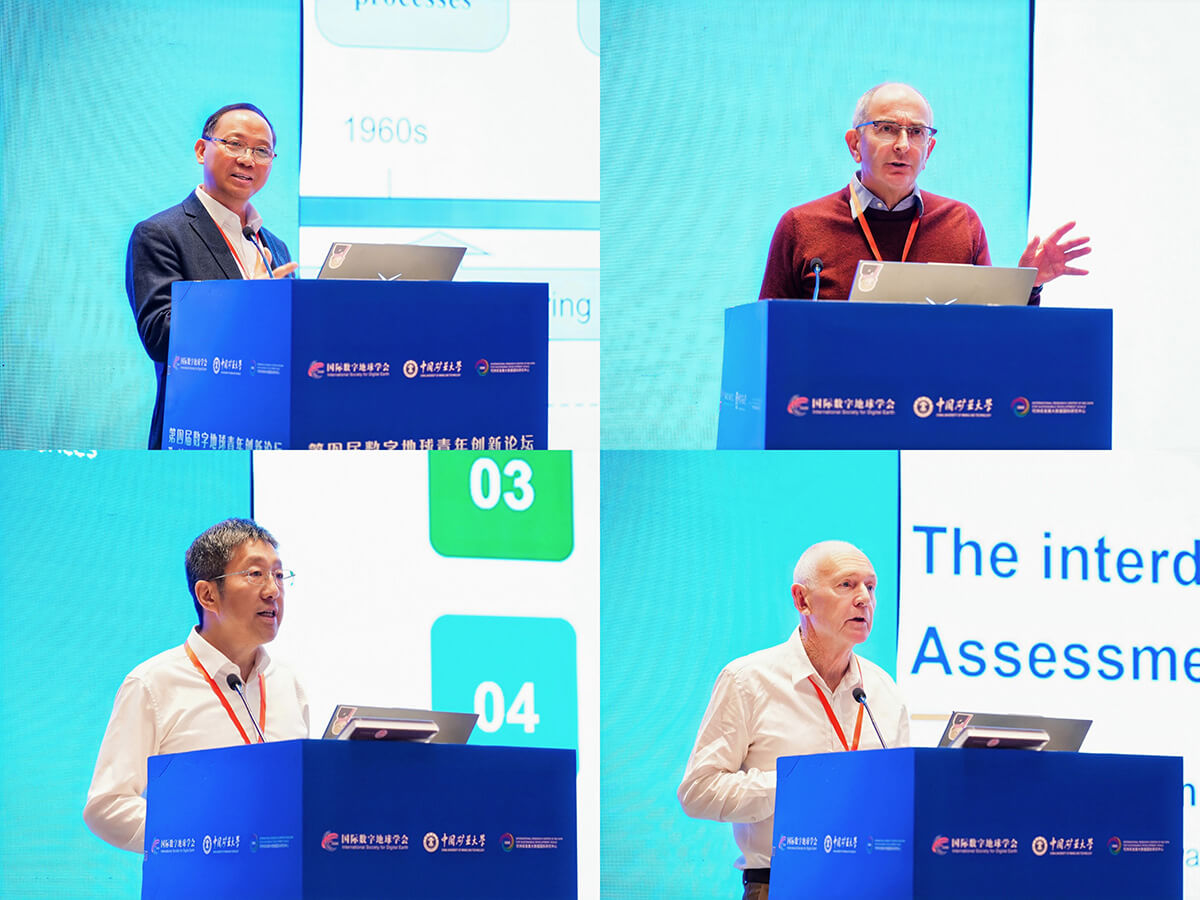
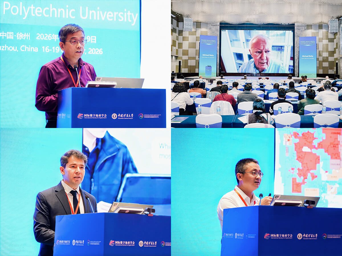
Keynote presentations
125 abstracts were presented orally across 21 parallel sessions. The sessions covered topics including urban governance and planning, precision agriculture and land and water resources, coal mine methane emission monitoring, ocean remote sensing and the digital ocean, GeoAI-enabled smart planning and spatial governance, Digital Twin for deep Earth resources and energy, remote sensing and AI for carbon neutrality, spatiotemporal big data and geospatial intelligence, and energy big data. Young scholars from universities and research institutions presented their latest research advances. An academic exchange and development seminar for the Big Earth Data journal was also held during the forum.
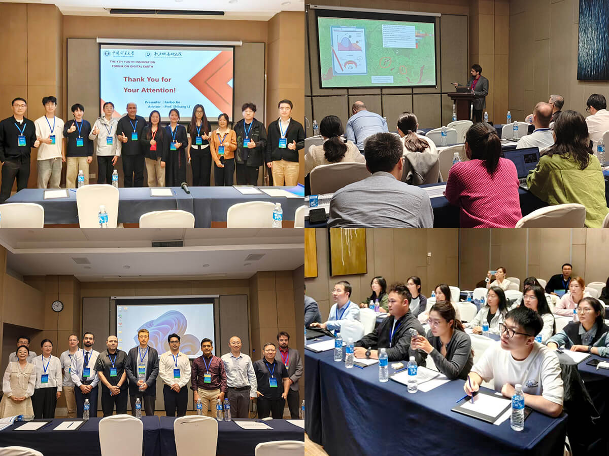
Parallel sessions
The forum concluded with a closing ceremony on the afternoon of 18 October. The Excellent Paper Awards were presented to young scholars in recognition of their five co-authored papers. Outstanding oral presentations at sessions were awarded with Best Presentation Awards. Awards were also presented to outstanding session conveners in recognition of their dedicated contributions to organizing the sessions and supporting the development of emerging researchers.
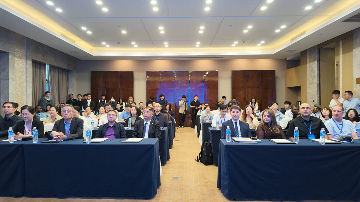
Closing ceremony
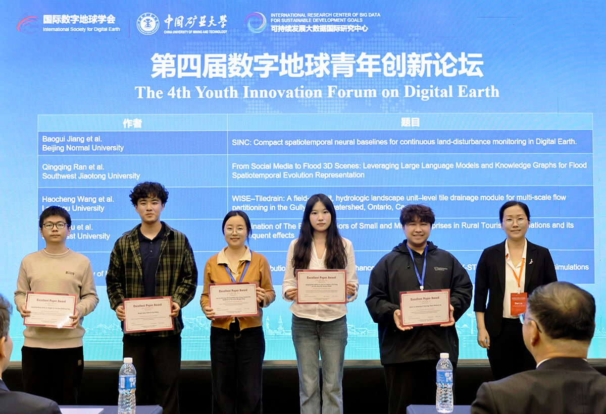
Excellent Paper Award ceremony
At the closing ceremony, it was announced that the 5th Youth Innovation Forum on Digital Earth would be held in Lund, Sweden in June 2027. Prof. Ali Mansourian received the forum flag on behalf of the local organizer – GIS Centre at Lund University.
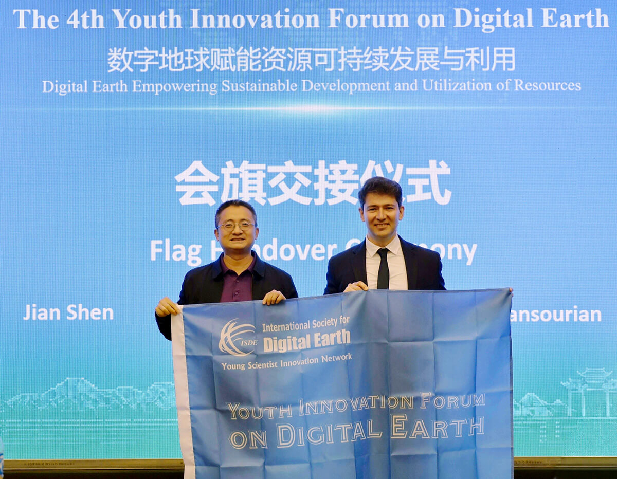
Forum flag handover ceremony
The International Society for Digital Earth- Young Scientist Innovation Network (ISDE-YSIN), launched on May 26, 2023, aims to empower young scientists in the field of Digital Earth. The Network serves to promote crucial concepts and innovative technologies related to Digital Earth, while also making contributions to the global sustainable development. It organizes the annual conference series Youth Innovation Forum on Digital Earth and the ISDE Lecture on Digital Earth Youth Innovation, with the objective of building a youth-driven academic sharing and collaboration platform with international influence.
Organized by ISDE-YSIN, the Youth Innovation Forum on Digital Earth has become an annual conference series since its inaugural edition in Beijing in 2023. The 2nd edition was held in December 2024 in Hong Kong, China with nearly 500 participants from 18 countries and regions; and the third forum, held in Nairobi, Kenya in December 2025, attracted more than 100 participants from 15 countries and regions.