The 17th ISDE International Lectures, with the theme of "From Pixels to Policy: Advanced Remote Sensing and GeoAI for Environmental and Hazard Mapping", successfully took place on 8 September 2025. This session focused on the advanced geographical technologies and discussed how the integration of multi-source data, advanced remote sensing and GeoAI can improve the accuracy of disaster prediction, environmental monitoring, and geospatial information analysis.

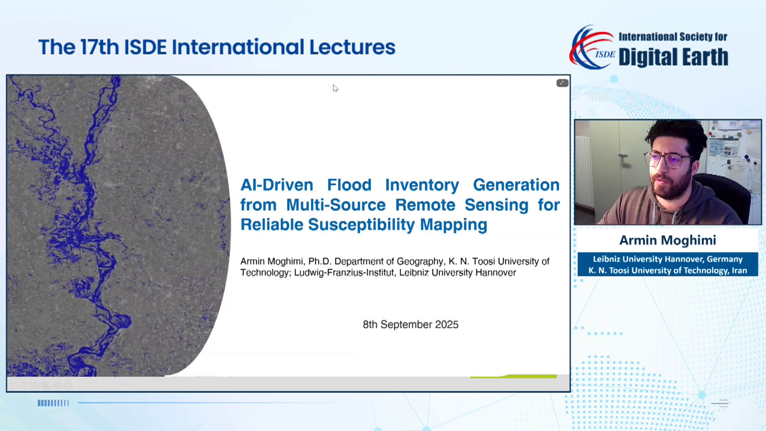
Dr. Armin Moghimi, a Postdoctoral Research Associate at the Leibniz University Hannover, Germany, delivered a lecture titled "AI-Driven Flood Inventory Generation from Multi-Source Remote Sensing for Reliable Susceptibility Mapping". In his presentation, he pointed out that establishing reliable flood susceptibility models requires continuously updated data inputs. He introduced a global, AI-driven pipeline based on multi-source remote sensing and other advanced technologies, aiming to achieve more reliable disaster-prone mapping and event-level flood inventory generation. This approach provides a more accurate method for flood hazard prediction and prevention, ensuring the precision and sustainable usability of the resource database.

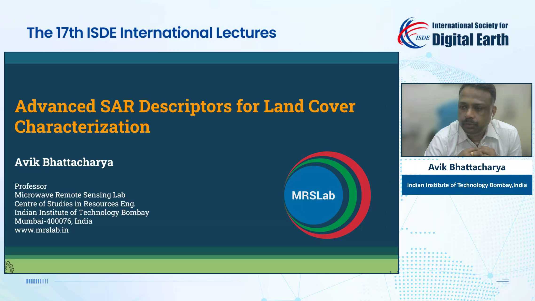
Prof. Avik Bhattacharya, from the Centre for Studies in Resources Engineering, Indian Institute of Technology Bombay (CSRE, IITB), India, gave a presentation titled "Advanced SAR Descriptors for Land Cover Characterization". He emphasized that timely and accurate land cover information is crucial for several planning and management activities. He mentioned that the application of advanced SAR descriptors, such as Generalized Radar Vegetation Index (GRVI) and Dual-polarimetric Radar Vegetation Index (DpRVI), can aid in achieving more precise analysis of land cover information while overcoming the limitations of dual-pol SAR data in distinguishing complex elementary targets, which also enhances the ability to characterize land cover. More research outcomes of the Microwave Remote Sensing Lab (MRSLab) at the Indian Institute of Technology Bombay, India can be found at https://www.linkedin.com/company/mrslab/?viewAsMember=true.

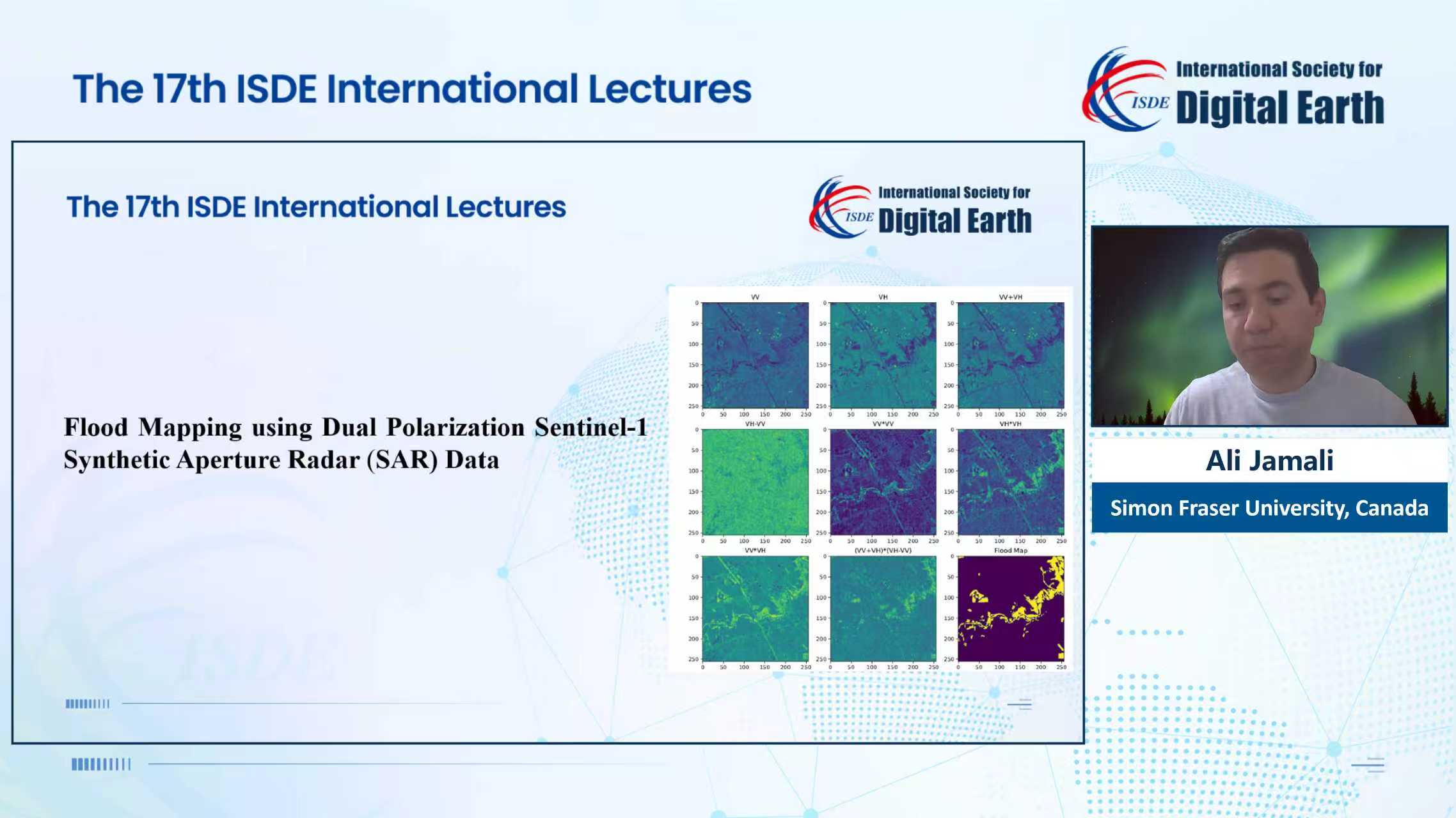
Dr. Ali Jamali, a Post-Doctoral Research Fellow with the Simon Fraser University (SFU), Canada, delivered a lecture titled "Ecosystem and Environmental Monitoring Using Advanced Remote Sensing technologies". Dr. Ali Jamali mentioned how advanced remote sensing technologies and deep learning are transforming traditional ecological and environmental monitoring methods. He highlighted that the application of high-resolution satellite imagery, UAV imagery, hyperspectral data, and LiDAR, along with deep learning, provides more precise spatiotemporal information for relevant geographical activities. This advancement helps overcome the limitations of traditional technologies in complex terrains, enabling researchers to promptly detect ecological stress, monitor environmental disasters, and implement effective conservation measures and sustainable resource management strategies in a timely manner.
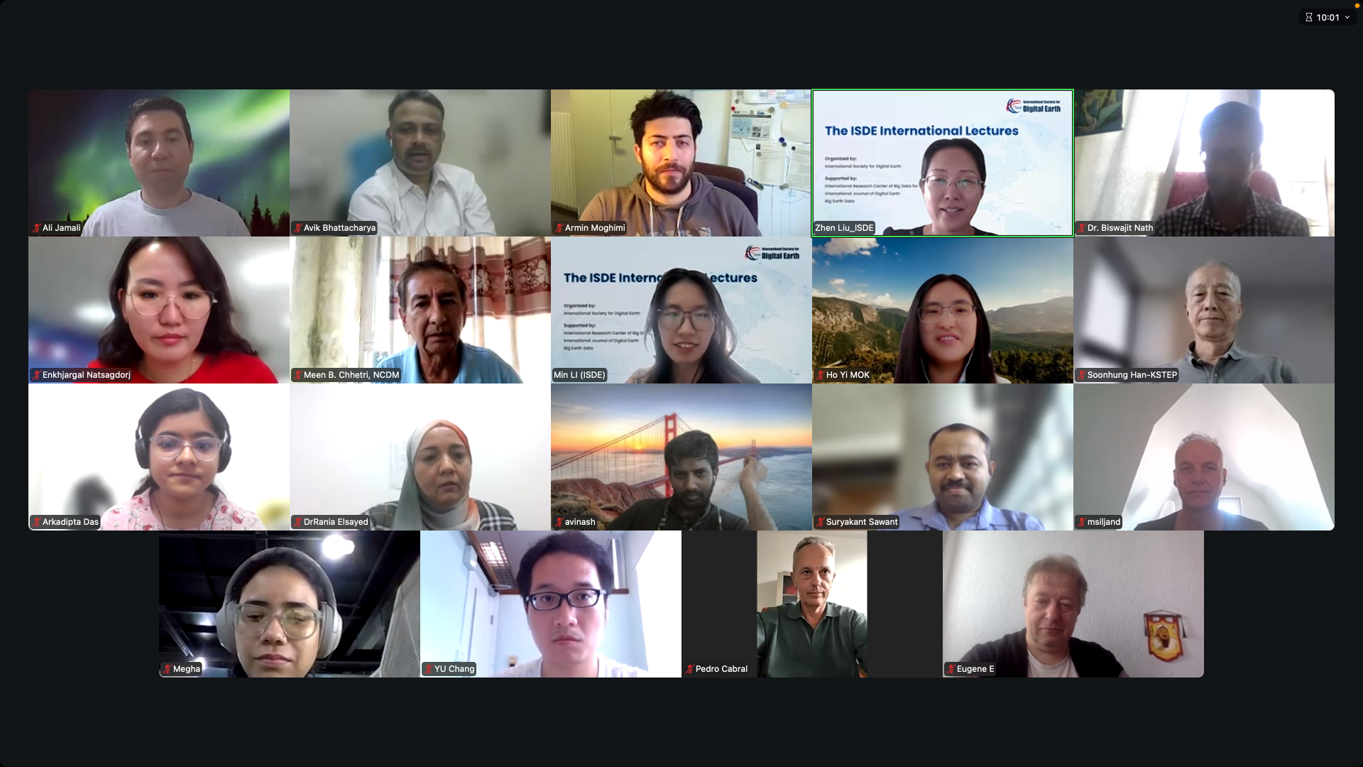
The event was moderated by Dr. Ali Jamali, and attracted over 2,030 participants from around the world through platforms such as Zoom and the ISDE Bilibili channel.

The ISDE International Lectures are organized by the International Society for Digital Earth (ISDE) and supported by the International Research Center of Big Data for Sustainable Development Goals (CBAS). It is a series of online events which feature invited lectures by well-known international experts in the field of Digital Earth. The purpose of the events is to bring international scholars in the relevant research fields of Digital Earth together to exchange academic perspectives, share research results, and disseminate the most cutting-edge concept of Digital Earth.

2004-2026 All Rights Reserved 京ICP备06045536号-1 京公网安备 11010802041631号