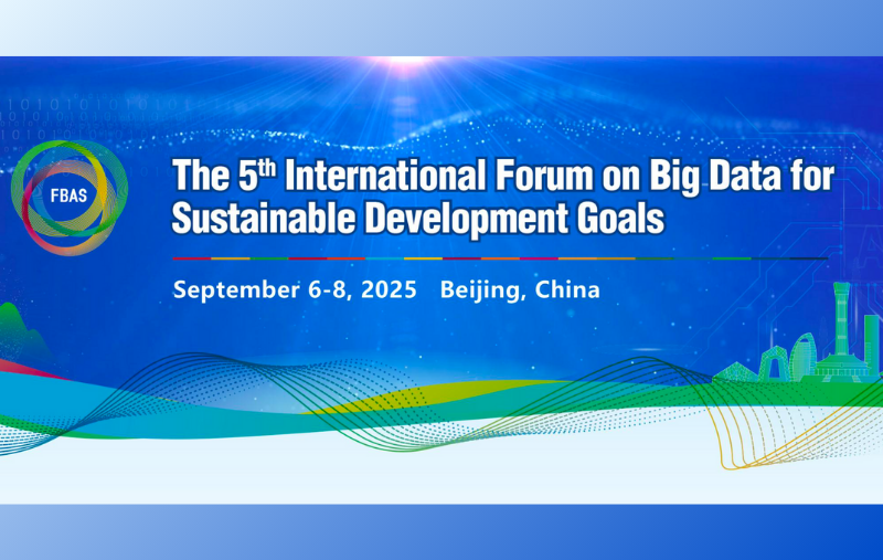
2025-06-09
The 5th ISDE Academic Salon Successfully Concluded
On June 5th, the 5th ISDE Academic Salonwas successfully heldin Beijing, China. This salon, with the theme of "Hum...
Read More
2025-06-09
The 5th ISDE Academic Salon Successfully Concluded
On June 5th, the 5th ISDE Academic Salonwas successfully heldin Beijing, China. This salon, with the theme of "Hum...
Read More
 2025-05-30
The 4th ISDE Academic Salon Successfully Concluded
On May 28th, the 4th ISDE Academic Salonwas successfully held at Beijing Normal University, China. This salon, wi...
Read More
2025-05-30
The 4th ISDE Academic Salon Successfully Concluded
On May 28th, the 4th ISDE Academic Salonwas successfully held at Beijing Normal University, China. This salon, wi...
Read More
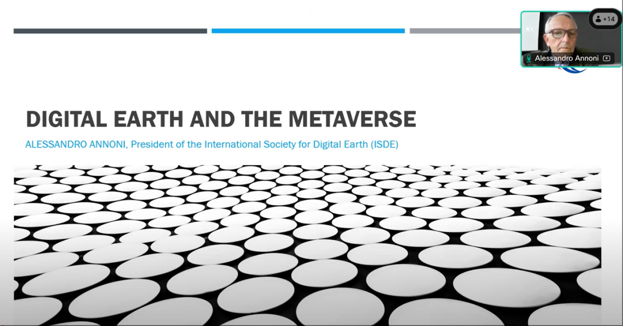 2025-05-28
ISDE President Featured as Speaker at Polytechnic University of Milan Webinar on Digital Earth and the Metaverse
On March 26, ISDE President Dr. Alessandro Annoni delivered a speech titled "Digital Earth and the Metaverse" on...
Read More
2025-05-28
ISDE President Featured as Speaker at Polytechnic University of Milan Webinar on Digital Earth and the Metaverse
On March 26, ISDE President Dr. Alessandro Annoni delivered a speech titled "Digital Earth and the Metaverse" on...
Read More
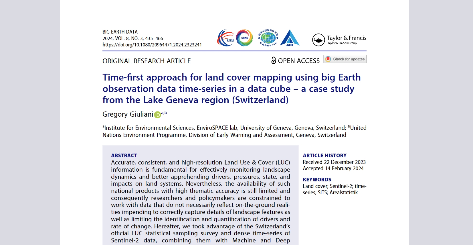 Time-first approach for land cover mapping using big Earth observation data time-series in a data cube – a case study from the Lake Geneva region (Switzerland)
By Gregory Giuliani
Read More
Time-first approach for land cover mapping using big Earth observation data time-series in a data cube – a case study from the Lake Geneva region (Switzerland)
By Gregory Giuliani
Read More
 The model-as-a-resource paradigm for geoscience digital ecosystems
By Paolo Mazzetti and Stefano Nativi
Read More
The model-as-a-resource paradigm for geoscience digital ecosystems
By Paolo Mazzetti and Stefano Nativi
Read More