2026-06-04
Special Session on Digital Technologies Driving Global Sustainable Development held at 5th Huangshan Dialogue
On the morning of June 1, 2026, the Special Session on Digital Technologies Driving Global Sustainable Development...
Read More
2026-06-04
Special Session on Digital Technologies Driving Global Sustainable Development held at 5th Huangshan Dialogue
On the morning of June 1, 2026, the Special Session on Digital Technologies Driving Global Sustainable Development...
Read More
 2026-05-19
The 20th ISDE International Lectures Concluded
The 20th ISDE International Lectures, with the theme of “Climate Change Risk and Regenerative Economics: Implicati...
Read More
2026-05-19
The 20th ISDE International Lectures Concluded
The 20th ISDE International Lectures, with the theme of “Climate Change Risk and Regenerative Economics: Implicati...
Read More
 2026-05-09
ISDE Honorary President Receives 2026 International Astronautical Federation Hall of Fame Award
The International Astronautical Federation (IAF) has named Prof. Huadong Guo, Honorary President of the Internationa...
Read More
2026-05-09
ISDE Honorary President Receives 2026 International Astronautical Federation Hall of Fame Award
The International Astronautical Federation (IAF) has named Prof. Huadong Guo, Honorary President of the Internationa...
Read More
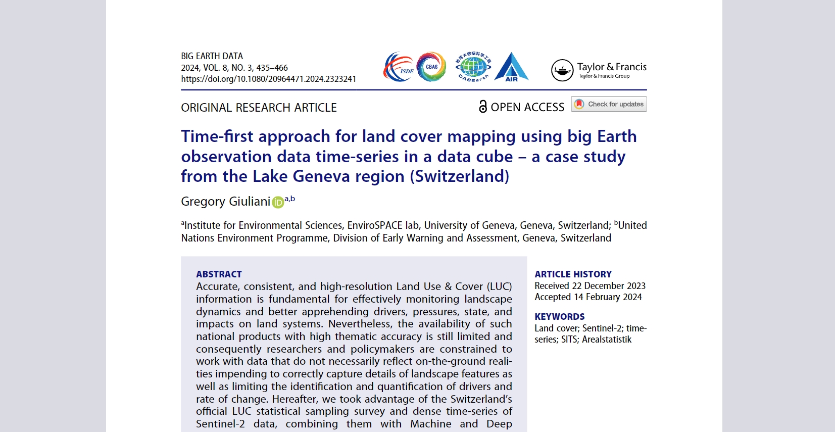 Time-first approach for land cover mapping using big Earth observation data time-series in a data cube – a case study from the Lake Geneva region (Switzerland)
By Gregory Giuliani
Read More
Time-first approach for land cover mapping using big Earth observation data time-series in a data cube – a case study from the Lake Geneva region (Switzerland)
By Gregory Giuliani
Read More
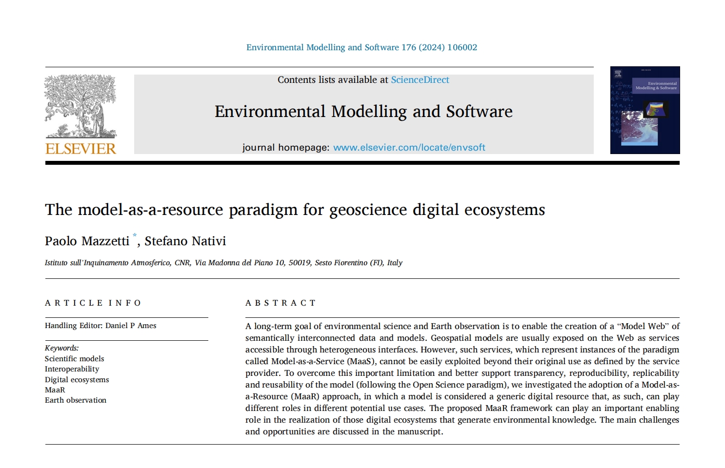 The model-as-a-resource paradigm for geoscience digital ecosystems
By Paolo Mazzetti and Stefano Nativi
Read More
The model-as-a-resource paradigm for geoscience digital ecosystems
By Paolo Mazzetti and Stefano Nativi
Read More