The 8th ISDE International Lectures ended successfully on January 23, 2024 with thought-provoking results. Notably, this event was organized by the International Society for Digital Earth (ISDE), with collaborative support from the Research Center for Digital Mountain and Remote Sensing Application, Institute of Mountain Hazards and Environment, CAS. The audience was introduced to the theme of "Remote Sensing and Geoinformation for Natural Hazards Management and Disaster Mitigation" by three presenters. They delved into significant concepts such as the integrated geoinformation-based methodology for spatiotemporal modelling, advanced AI and remote sensing techniques, and remote sensing of vulnerability. These presentations, richly illustrated and supported by an abundance of sources, provided a unique perspective on the concept of Digital Earth.
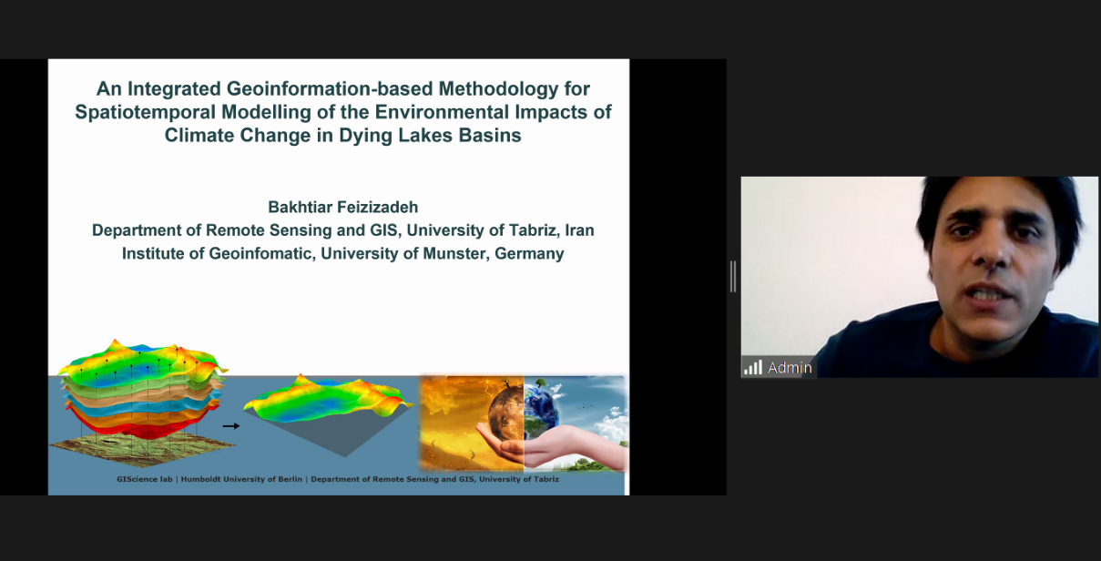
Dr. Bakhtiar Feizizadeh from the Institute of Geoinformatics at the University of Münster, Germany gave a lecture themed “An Integrated Geoinformation-based Methodology for Spatiotemporal Modelling of the Environmental Impacts of Climate Change in Dying Lakes Basins”. He first introduced the funding unit of the research project, the start and end time and the participants in the study. Then he showed examples of climate change impacts on the environment and lake drought. After that, he explained an integrated fuzzy object based image analysis and deep learning methods in detail. In his research, he compared efficiency of machine learning data-driven approaches for land use/cover mapping and trend analysis using Google Earth Engine: Support Vector Machine (SVM), Random Forest (RF) and Classification and Regression Tree (CART). Finally, he showed a GIS based modeling of the Lake Urmia drought on the local population. He thinks irrigation and farming systems will affect the salty water moves, and consequently impact on the quality of freshwater as well.
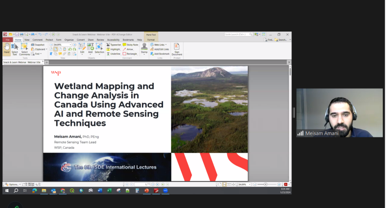
Dr. Meisam Amani, the Remote Sensing Team Lead and the Key Specialty Leader of the Remote Sensing and Geospatial Technologies at the global consulting and engineering company WSP, engrossed the audience with a presentation themed “Wetland Mapping and Change Analysis in Canada Using Advanced AI and Remote Sensing Techniques”, and he presented his research results to us in his presentation. Firstly, he gave a brief introduction to wetlands and remote sensing technology, and gave a detailed illustration using the example of Canada where there are two types of wetland classification systems and the more important one is Canadian Wetland Classification System (CWCS). And then he analyzed two types of data sets used in the study, including institute data and remote sensing data. At last, he showed three results examples by showing extensive pictures, namely Wetland Classification in Newfoundland, First Canada-Wide Wetland Map and Wetland Change Assessment in Alberta.
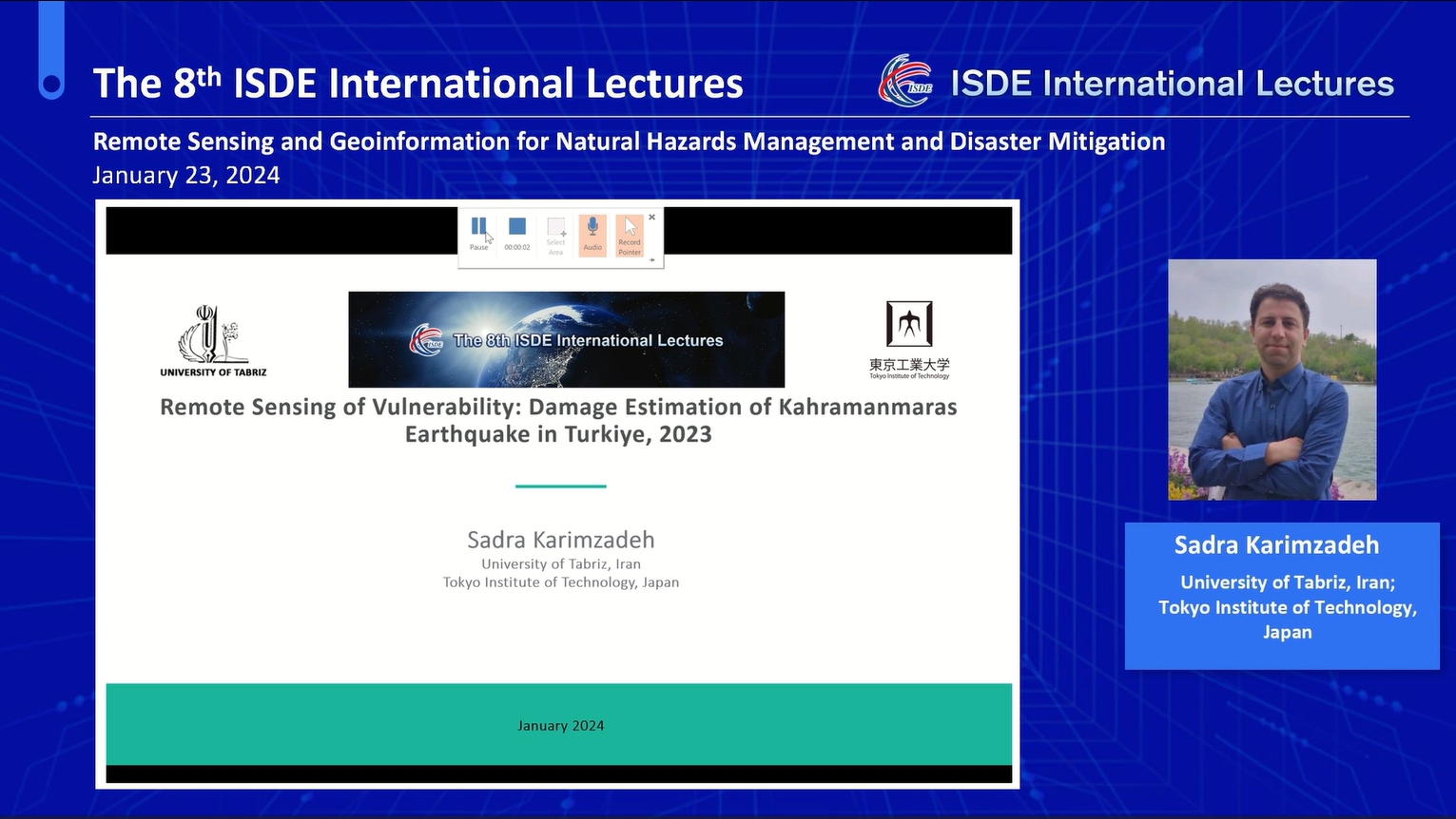
Dr. Sadra Karimzadeh, an assistant professor in the Department of Remote Sensing and GIS, University of Tabriz, Iran and a research fellow at the Department of Architecture and Building Engineering, Tokyo Institute of Technology, Japan, delivered a lecture titled “Remote Sensing of Vulnerability: Damage Estimation of Kahramanmaras Earthquake in Turkiye, 2023”. First and foremost, he introduced the principles of remote sensing. Then he reviewed the application of remote sensing to past studies on earthquakes, including the usage of 30 years Synthetic Aperture Radar (SAR) missions and SAR remote sensing of vulnerability until 2011. Additionally, he expanded on the background and objective of damage mapping in collaboration with Sentinel ASIA damage mapping. At the end of the lecture, he used a large number of pictures to demonstrate the Kahramanmaras earthquake, damage mapping and field displacement.
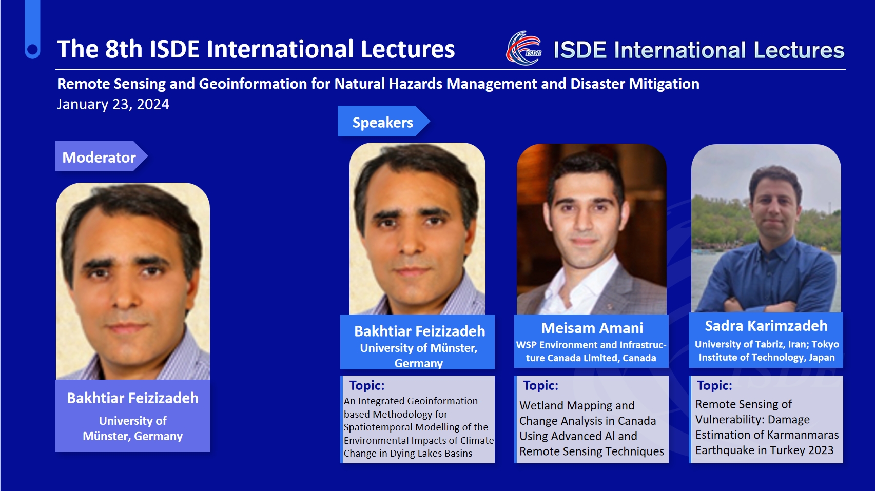
The 8th ISDE International Lectures was moderated by Dr. Bakhtiar Feizizadeh. Over 5,200 participants from around the world attended the 8th Lectures through Zoom, the ISDE Bilibili platform, and other academic streaming platforms.
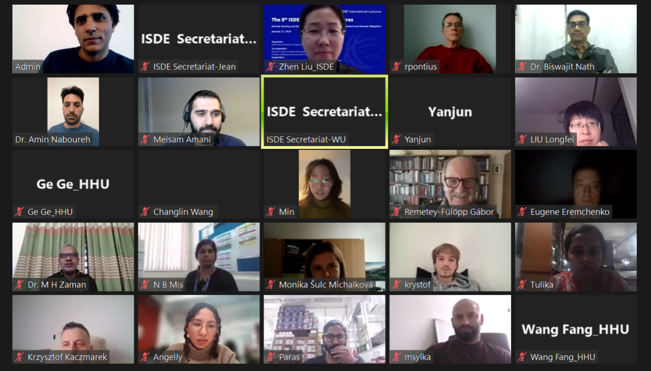
The ISDE International Lectures are organized by the International Society for Digital Earth (ISDE) and supported by the International Research Center of Big Data for Sustainable Development Goals (CBAS). It is a series of online events which feature invited lectures by well-known international experts in the field of Digital Earth. The event will invite speakers to give lectures every two months. The purpose of the events is to bring international scholars in the relevant research fields of Digital Earth together to exchange academic perspectives, share research results, and disseminate the most cutting-edge and authoritative concept of Digital Earth.

2004-2026 All Rights Reserved 京ICP备06045536号-1 京公网安备 11010802041631号