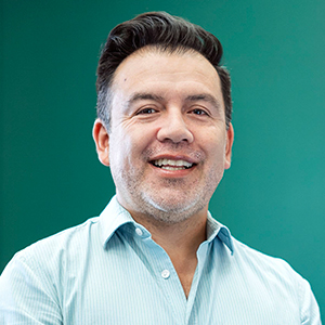
Leo Zurita Arthos
Ecuador
GEOcentro Universidad San Francisco de Quito USFQ
Leo Zurita-Arthos is a geospatial specialist with over two decades of experience in Geographic Information Systems and Earth Observation research, applying spatial technologies to address environmental, social, and territorial challenges. His work integrates advanced geospatial analysis, remote sensing, and data visualization to support decision-making in sustainable development, conservation, and land governance. Throughout his career, Leo has collaborated with universities, NGOs, government agencies, and international organizations, bringing together technical expertise and applied research. He has led projects that use satellite imagery and spatial modelling to monitor ecosystems and map vulnerable territories. His research uses geoinformation for empowering communities, particularly through participatory mapping with Indigenous and Afro-descendant populations, where local knowledge is combined with EO data for more inclusive planning. In his role as Director of GEOcentro USFQ, in Ecuador, he leads initiatives that connect academic research with applied geospatial innovation. Under his direction, GEOcentro has become a hub for interdisciplinary collaboration, fostering partnerships with local communities, international agencies, and development banks. The centre focuses on advancing geoinformatics and Earth Observation applications to support environmental monitoring, territorial planning, and resilience strategies across Latin America, with a strong emphasis on integrating science, education, and societal impact. He has developed and delivered training programs in GIS, remote sensing, and spatial analysis, enabling students and professionals to apply geospatial tools in their own fields of work. His teaching emphasizes practical applications, ensuring that technology is not only innovative but also accessible and impactful in real-world contexts. Passionate about bridging science, technology, and society, Leo continues to explore the potential of EO and GIS for tackling global challenges. His vision is focused on using geospatial intelligence as a driver of sustainability, resilience, and equity, ensuring that spatial data serves both scientific advancement and communities affected by global changes.

2004-2026 All Rights Reserved 京ICP备06045536号-1 京公网安备 11010802041631号